Environmental rehabilitation works
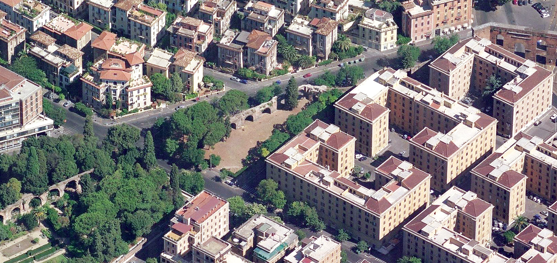
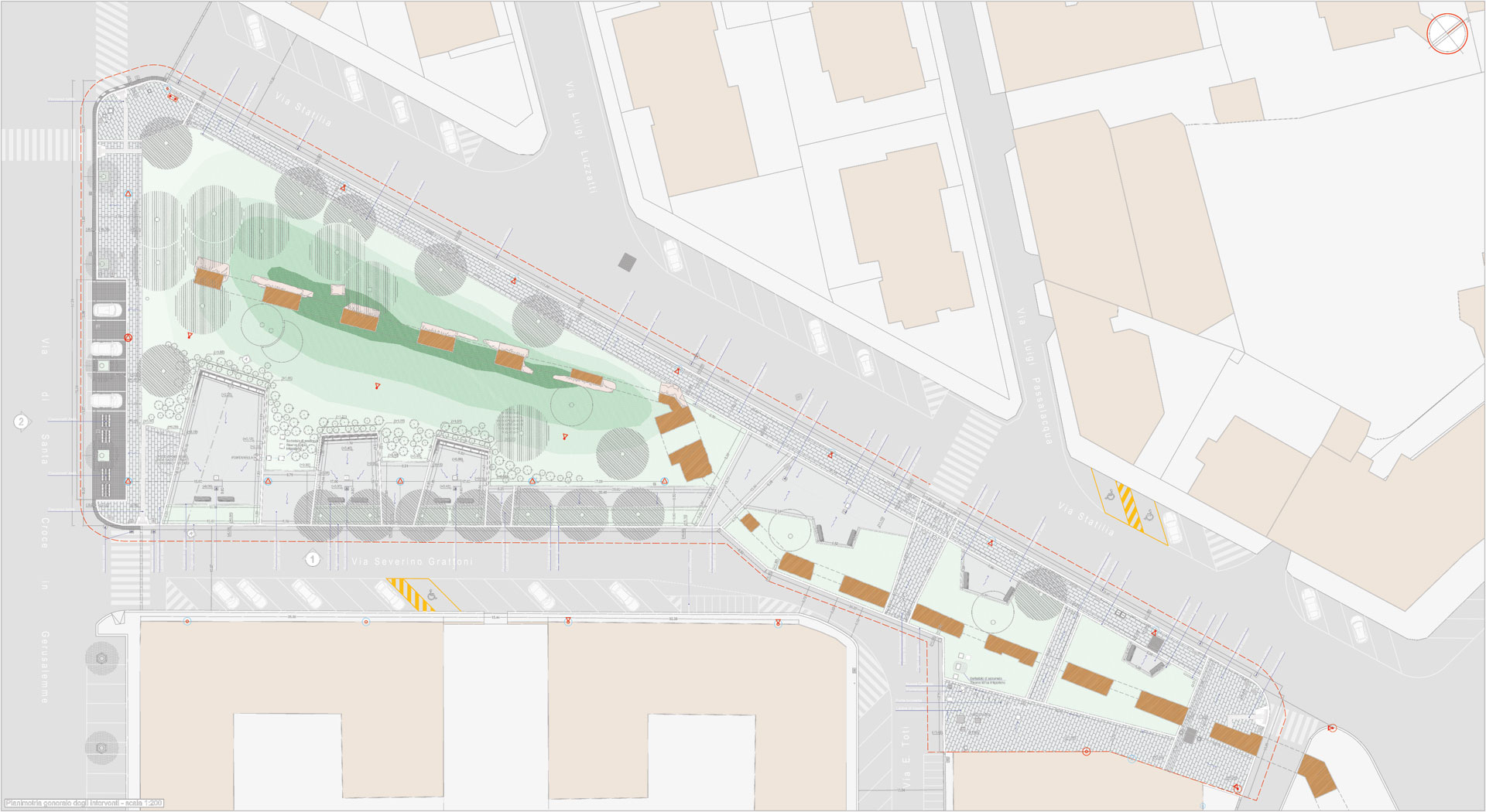
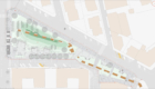
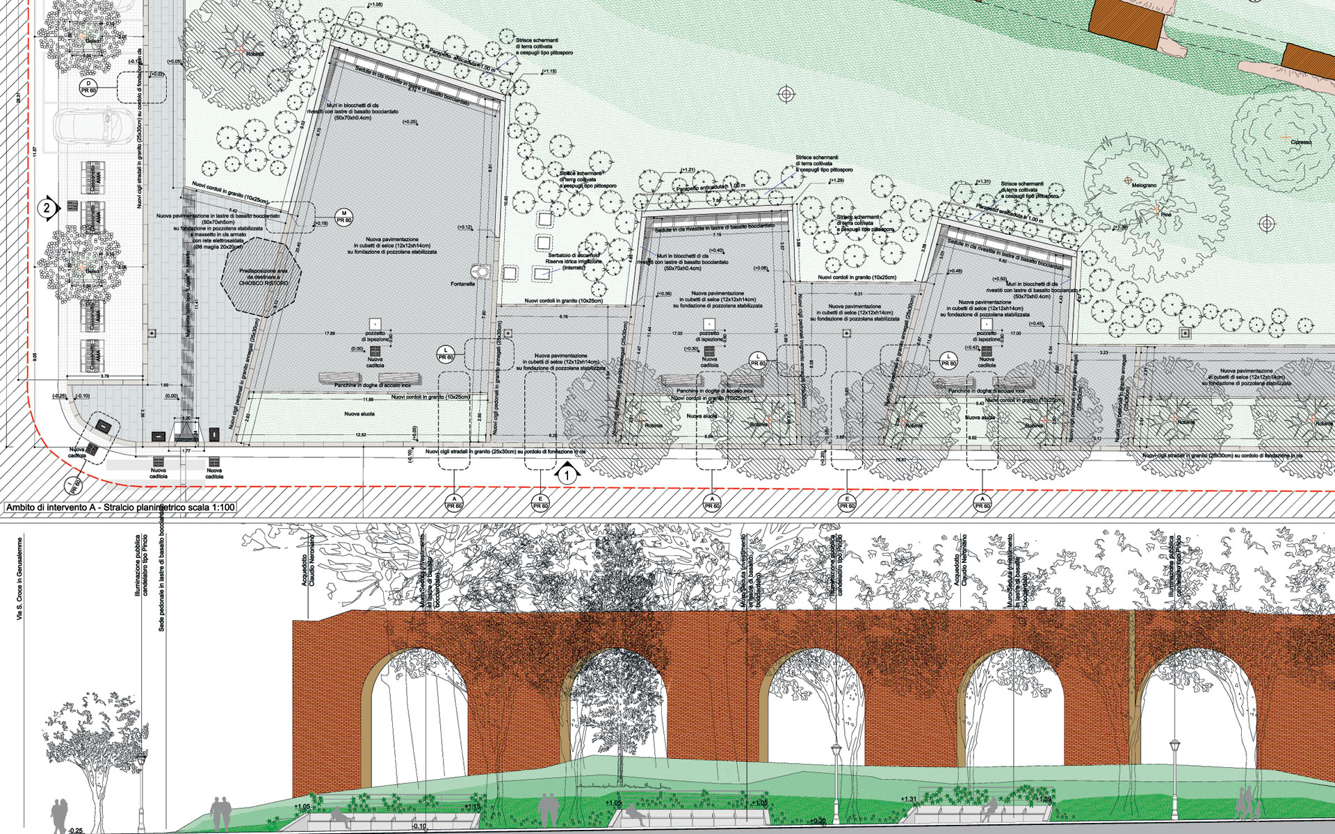
Over the last fifteen years, some rehabilitation services were carried out in various areas of Rome. Among them, there is the Park of Via Statilia, in the Esquilino district; it is a highly valuable place in terms of historical-artistic importance in the Roman territory, particularly due to the ruins of the Neronian-Claudius aqueduct, that goes from Porta Maggiore to Via Statilia through the whole Park, characterizing the area. Before the requalification, the area was in a state of neglect and urban blight, mainly because of lack of maintenance of the pedestrian area and of some homeless’ temporary shelters. Zètema (cultural organization depending from Roman municipal administration) requested an environmental rehabilitation and recovery programme. The intervention aimed at a deep rehabilitation and restoration to requalifiy, reshape the public and green spaces and protect the ruins, reconnecting the Park to the existing urban framework. While removing architectural barriers, new paved structures and rest areas were built to define the barrel-vaults of the aqueduct through granite slabs. The sitting corners, covered with basalt and set against the rear embankment, were designed as a major disincentive to climbing the ruins and delimitation of the green spaces. The project included also an irrigation system and new storm drains in place of the old curbside storm drains. Furthermore, the entire pedestrian walkway was redesigned as an archaeological path with three information panels describing the area and its ruins.
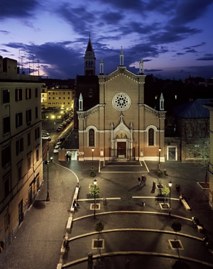
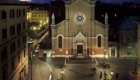
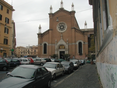
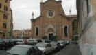
A further example concerns the urban requalification of Piazza dell’Immacolata in Rome. Before the works, the prospect of the church of Santa Maria Immacolata had almost lost its sacredness, since the square, meeting place of the picturesque historical university district of San Lorenzo, was being used as a parking lot. The interventions aimed at restoring the original livability of the square; the pedestrian area, in fact, was redesigned to reestablish an open-air meeting area. The perspective towards the façade of the church was the focus of the spatial configuration, to highlight the third dimension of the square, neglected because of the traffic. The square was realized on an inclined surface, with four wide steps recalling the oval shape of the area in front of the church. The materials and construction techniques used for pavements and illumination belong to the local tradition, also removing any architectural barrier. In that manner, Piazza Immacolata regained its dignity, proportions, and religious, cultural and social functions.